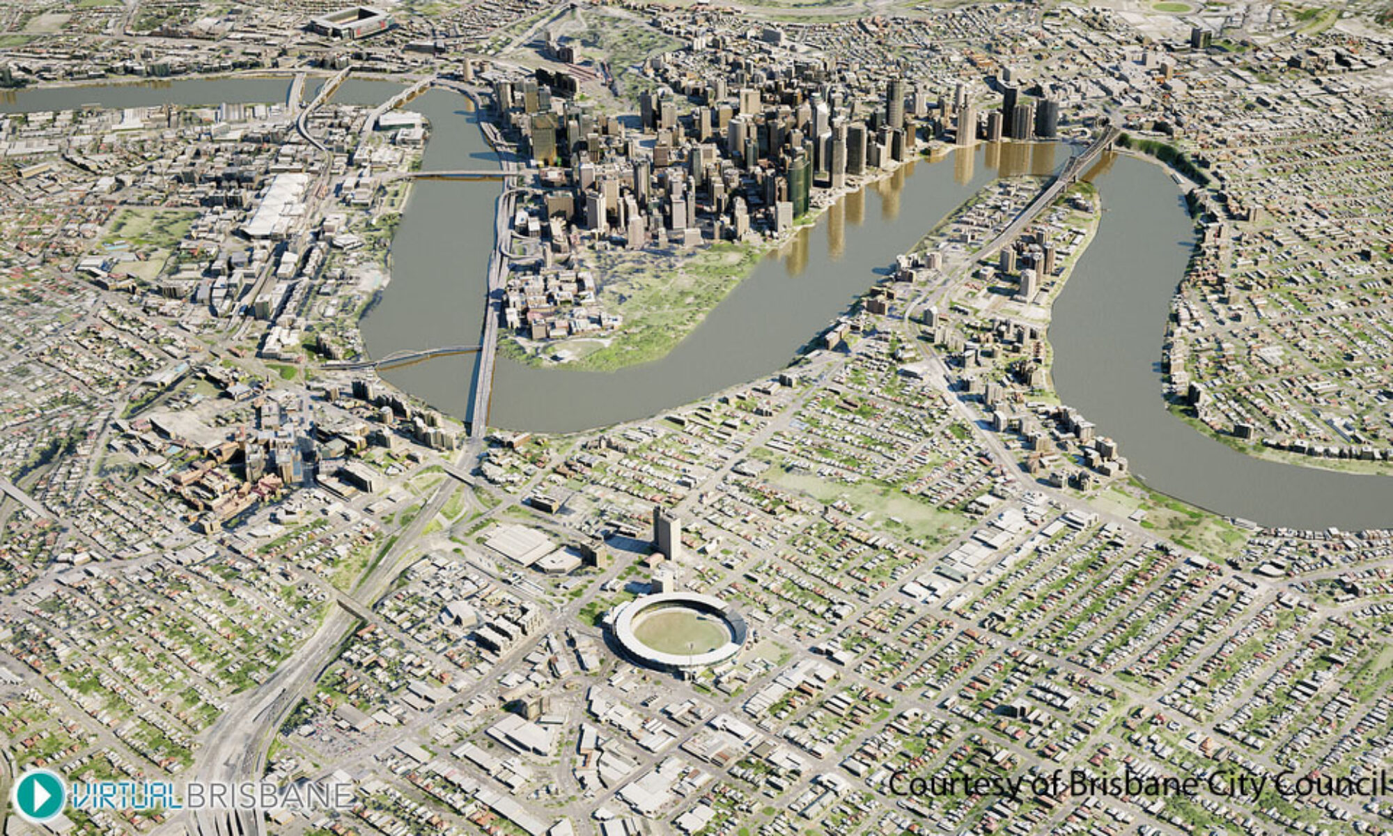
Imagine walking on to a multi-million dollar building site, GPS in hand, and being able to advise your contractor exactly where the existing utility services intersect with the building design (in 3 dimensions) and the boundary line. At the same time being able to pull up on screen where the 2011 flood reached in relation to your property boundary. Imagine being in the field far west of Charleville and being able to advise your client of exactly how far inside their boundary that water bore is located, and where the petroleum exploration permit lease area intersects with their fence line.
Who will benefit and why is it needed?
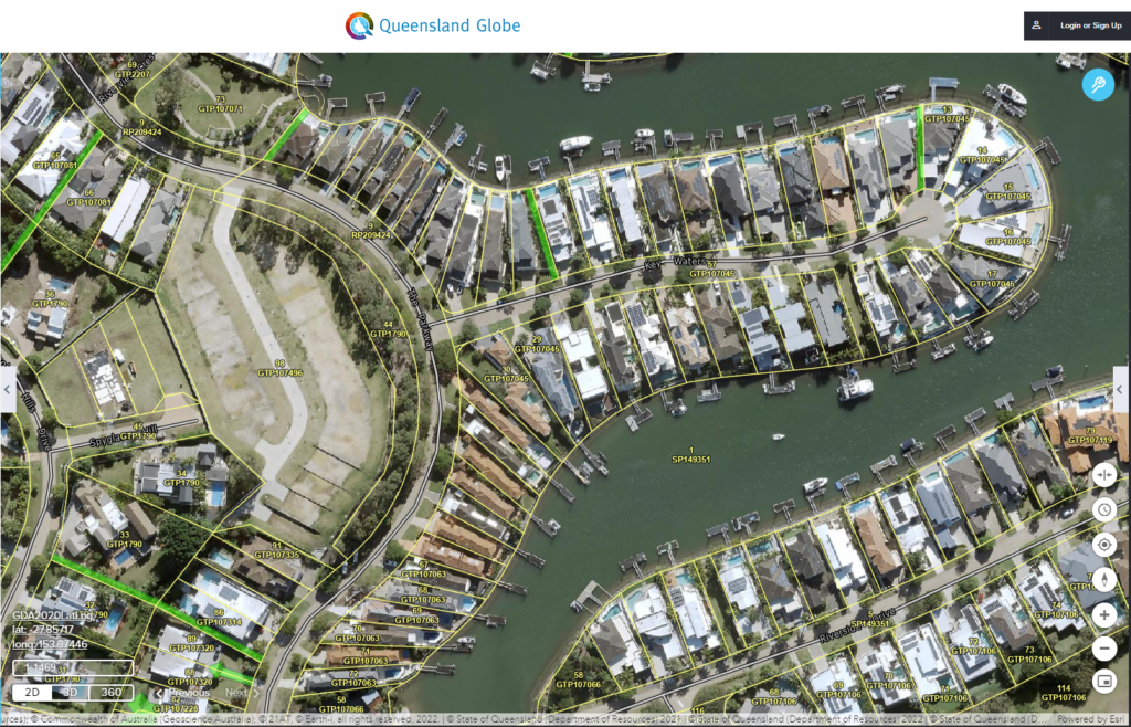
The current uptake of spatial information in these sectors of the economy is high. New opportunities will emerge in these areas of the economy as trusted sources of spatial data are shared through the 3dQLD vision. Spatial information will become more readily available and far more useful than it is currently for those who invest in spatial information technology.
The aim of the 3dQLD (three dimensional Queensland) is to build on successful centuries old land surveying practice and law, transitioning to a modernised and efficient system suitable to meet the needs of the 21st century. 3dQLD will be realised in part by land surveying professionals incorporating survey accurate, three dimensional measurements on the earth into their everyday practice and presenting this in a digital format. This will create a 21st century digital cadastre capable of supporting the changing needs of the community for generations to come.
How will it work?
3dQLD will be a progressive change, and build upon the current land cadastre system. Most who do not have an intimate understanding of the surveying and mapping process may not even notice a change.